SERVICES
A Clear Path Forward
Is your community association facing boundary disputes, property line issues, or planning for future development?
dCEI provides comprehensive land surveying services tailored to the unique needs of community associations.
How we can help
Boundary Surveys:
We precisely define property lines to resolve disputes and ensure accurate property records.
Topographic Surveys:
Our skilled professionals create detailed maps of the land’s surface features, including elevations, slopes, and vegetation.
ALTA/NSPS Land Title Surveys:
Comprehensive surveys that meet industry standards for real estate transactions and financing.
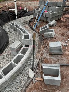
Construction Staking:
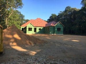
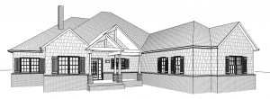
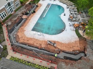
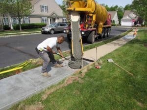
In preparation of construction projects our professionals accurately identify the location of existing and proposed features such as buildings, utilities, walls, fences, and other structures at the site.
GPS Surveys:
Our professionals utilize advanced GPS technology for rapid and precise data collection.


